MINING SURVEY
Granite Quarry Volume Assessment
Wayanad District · 2024
42 hectares mapped · 1.2M point cloud
AXISLINE INTERNATIONAL · SURVEY
Control surveys, 3D scanning and mapping across all 14 districts of Kerala - delivered as submission-ready drawings, models and reports.
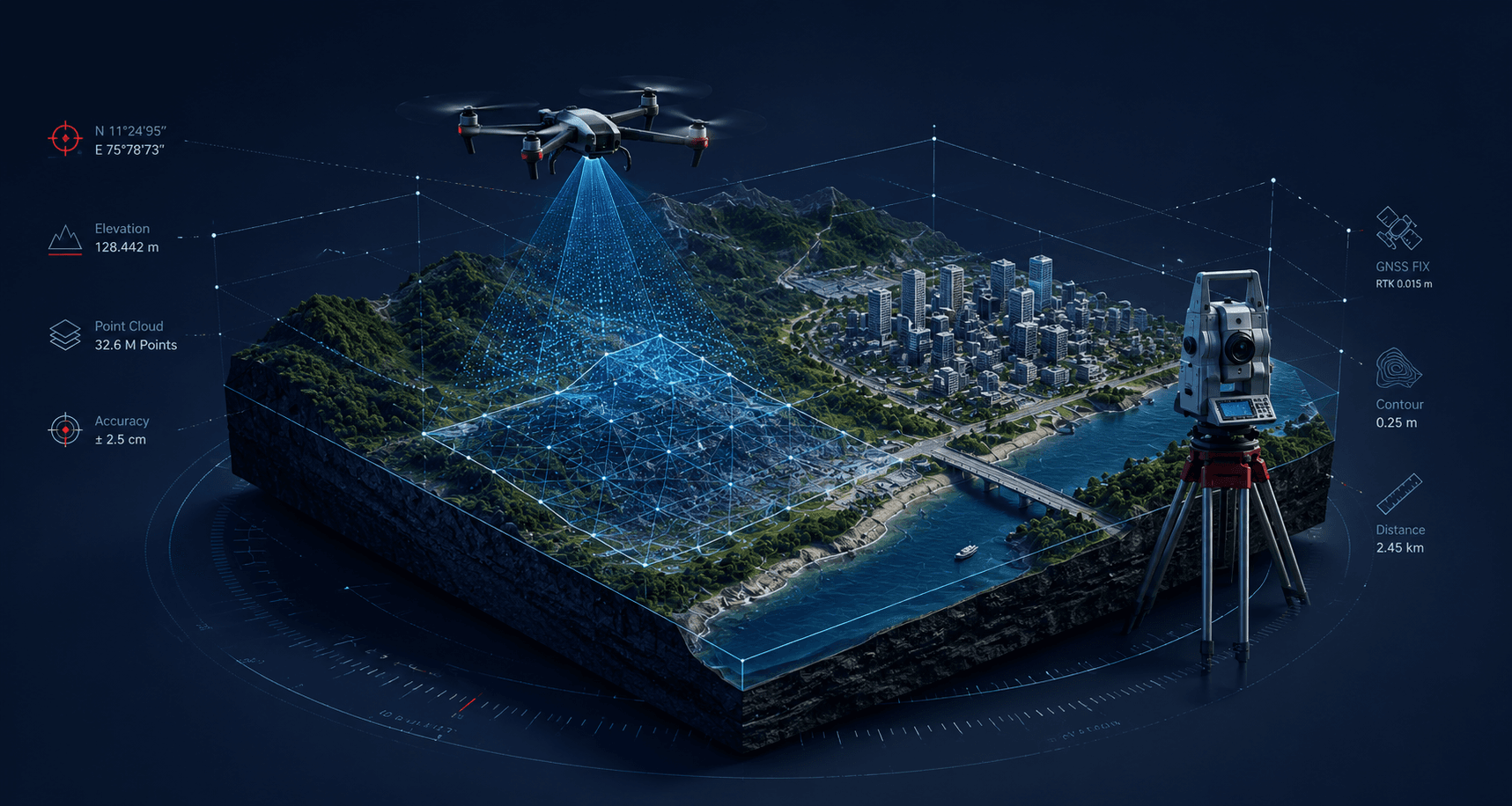
Axisline Geo Services is the land surveying division of Axisline International LLP, Kerala. It delivers DGPS/GNSS control surveys, LiDAR 3D scanning, drone mapping, mining and quarry volumetrics, topographic and boundary surveys across all 14 Kerala districts - producing submission-ready maps, drawings and reports.
Field crews dispatch from Areekode, Malappuram, with the group's calibration lab and equipment division supporting every survey.
WHAT WE DO
Twelve service lines, from a single boundary re-establishment to a full corridor survey.
Every survey ends in files your architect, engineer, department or advocate can use directly - no re-drawing at your end.
Survey instruments deployed and maintained in-house, serviced through the group's own calibration lab.
Field instruments
Processing software
HOW IT WORKS
Share the location, plot extent and what the survey is for. Scope, method and access needs are confirmed before anything is priced.
A written quote fixes the method, the deliverables and the timeline. Field dates are booked around weather, access and your submission deadline.
Control is established with DGPS/GNSS first, then detail captured by total station, LiDAR or drone as the job demands.
Field data is reduced, checked against revenue and reference records, then drafted into drawings, surfaces and volumetric reports.
Signed report and files handed over in your required formats, with follow-up on queries or submission clarifications.
Different clients need different evidence from the same piece of land.
A sample of survey, scanning and mapping work delivered across Kerala.
MINING SURVEY
Wayanad District · 2024
42 hectares mapped · 1.2M point cloud
LIDAR SCAN
Western Ghats Corridor · 2024
18 km corridor · 5 cm DEM resolution
DGPS SURVEY
Malappuram District · 2023
300+ boundary points fixed to cm accuracy
FAQ
Land survey cost in Kerala depends on the survey type, plot size, terrain and access - there is no single rate card. A small residential boundary survey sits at the lower end; DGPS control work, drone mapping and quarry volumetrics cost more because they need more instrument time and processing. Indicative ranges: To confirm: quote ranges. Send your location and plot extent for a firm quote within 24 hours.
Boundary survey duration depends on plot size, terrain and how complete the land records are. Field measurement on a typical residential plot is the short part; comparing revenue records, re-establishing missing boundary stones and preparing the drawing takes longer. Disputed or partitioned land takes longest. Indicative turnaround: To confirm: boundary survey turnaround.
DGPS (Differential GPS) surveying uses a fixed base station and a moving rover receiver to cancel satellite positioning errors, delivering centimetre-level accuracy instead of the metre-level accuracy of a handheld GPS. It is the standard method for control points, boundary corners, government land submissions and infrastructure layouts, and covers open terrain far faster than chain or theodolite methods.
A boundary survey establishes where your property lines legally run - corners, extent and area, checked against revenue records. A topographic survey records what is on and under the land: levels, contours, slopes, buildings, trees, drains and utilities. Boundary surveys answer ownership questions; topographic surveys feed design and construction. Many projects need both, usually captured in the same field visit.
Yes. Axisline Geo Services prepares quarry and mining survey outputs in the formats required for Environmental Clearance and SEIAA Kerala submissions - lease boundary sketches, contour and cross-section drawings, volumetric assessments and mining plan supporting surveys. Bring the lease document and any previously approved sketch, so the survey is planned around what the submission actually asks for.
Yes. NRI landowners regularly commission surveys remotely. A local representative or the appointed power-of-attorney holder needs to provide site access and hand over the title documents. Everything after that - measurement, record comparison, drafting and the signed report - is handled here and delivered digitally by email, so you do not need to travel for the survey itself.
The title deed, the latest tax receipt, and any available survey sketch, thandaper or possession certificate. For boundary work, previous survey records and the neighbouring plots' details help resolve overlaps early. For quarry or lease work, the lease order and approved plan are needed. A survey can still start if documents are missing, but record comparison will be limited.
Deliverables include AutoCAD DWG drawings, PDF plots, georeferenced orthophotos, DEM and contour files, point clouds in LAS or E57, volumetric reports, coordinate schedules and a signed survey report. Tell us which software your architect, engineer or department uses and the data is prepared in that format, so nothing needs re-drawing at your end.
Survey field operations cover all 14 districts of Kerala, dispatched from Areekode in Malappuram. Equipment supply and instrument service reach clients pan-India. Survey work beyond Kerala is considered case by case depending on project duration, travel and instrument availability - ask before assuming either way. To confirm: out-of-state survey policy
Usually not on its own. Drone photogrammetry is excellent for area coverage, contours, orthophotos and volume calculation, but legal boundary determination needs ground-verified control points established with DGPS or a total station and checked against revenue records. In practice the two are combined: the drone gives the picture, DGPS control gives the coordinates the boundary is fixed on.
Send your location and what the survey is for - a written quote follows within 24 hours.
Or use the enquiry form